☢
Hartlepool
54.6350°N, -1.1790°WOperational|Quick Scan — Sentinel-2 Summer 2025
Operational AGR on the County Durham coast, due to close 2026
True Colour Satellite Capture

Sentinel-2 L2A true-colour composite, 10m resolution. Summer 2025 capture.
NDVI Vegetation Index
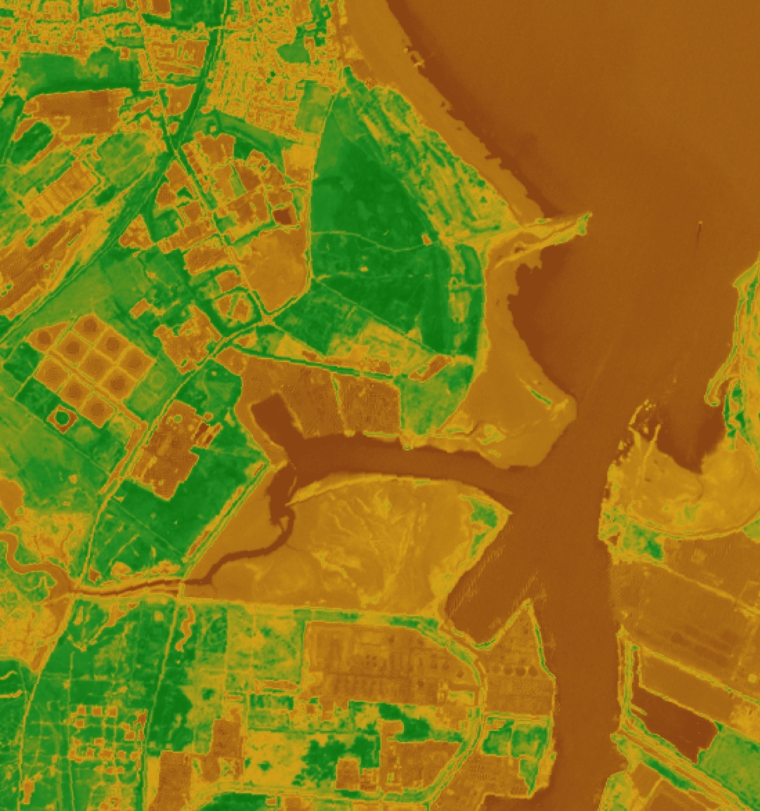
Normalised Difference Vegetation Index. Green = healthy vegetation. Brown = bare/built. Mean NDVI: 0.177.
Quick Scan Only
This site has a single satellite capture. Full analysis — including same-season comparison, anomalous change detection, risk scoring, and temporal depth — is available on request.
View Executive Summary